
[Disclaimer] This article is reconstructed based on information from external sources. Please verify the original source before referring to this content.
News Summary
The following content was published online. A translated summary is presented below. See the source for details.
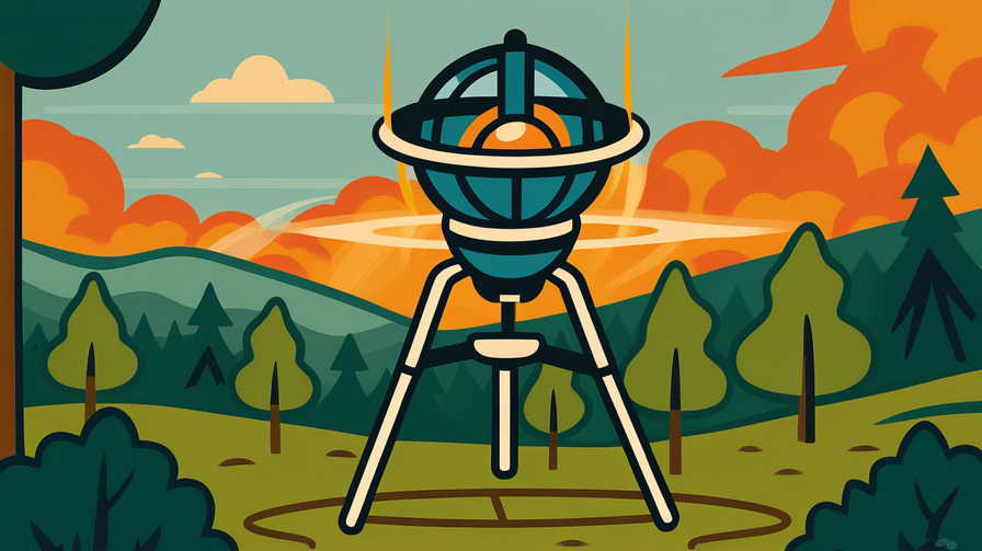
Google has shared the first images from FireSat, a groundbreaking satellite constellation designed to detect wildfires from space. Developed in partnership with the Earth Fire Alliance and Muon Space, FireSat represents a major advance in wildfire detection technology. The satellites use advanced infrared sensors to spot fires as small as 5×5 meters within minutes of ignition, even through smoke and cloud cover. This early detection capability could give firefighters crucial extra time to respond before fires spread out of control. The constellation will eventually consist of 50+ satellites providing global coverage with updates every 20 minutes. The first images successfully detected active wildfires in California, Australia, and Brazil, demonstrating the system’s effectiveness. This technology addresses the growing wildfire crisis, with fires becoming more frequent and severe due to climate change. The data will be freely available to fire agencies, researchers, and the public through Google Earth Engine.
Source: Google Blog
Our Commentary
Background and Context

Wildfires are becoming one of the biggest environmental challenges of our time. In 2023 alone, Canada experienced its worst wildfire season ever, with smoke reaching as far as New York City. California faces devastating fires almost every year, destroying thousands of homes.
Currently, most wildfires are detected by people who see smoke and call it in, or by lookout towers with limited range. By the time someone notices a fire, it may have already grown large and become harder to control. This is especially true in remote areas where nobody’s around to spot the smoke.
Satellites have watched Earth for decades, but most weren’t designed specifically for fire detection. They might pass over an area only once a day, missing fires that start and spread quickly.
Expert Analysis
FireSat changes the game by being purpose-built for one job: finding fires fast. Its infrared sensors work like super-powered heat-vision goggles, detecting the heat signature of even small fires.
Key innovations include:
• Rapid revisit time: Checking the same spot every 20 minutes instead of once daily
• Small fire detection: Spotting fires as small as a backyard (5×5 meters)
• See-through capability: Working through smoke and light cloud cover
• AI-powered analysis: Automatically identifying fires vs. other heat sources
The free data access is revolutionary – previously, satellite imagery this detailed would cost thousands of dollars. Now, even small fire departments can access cutting-edge technology.
Additional Data and Fact Reinforcement
The scale of the wildfire problem is staggering:
• Wildfires burn about 7-8 million acres annually in the US alone
• Fire suppression costs exceed $3 billion per year in the US
• A fire can double in size every 30 seconds under extreme conditions
• Early detection can reduce firefighting costs by 50-70%
• Climate change has extended fire season by 3-4 months in many regions
FireSat’s 50+ satellite constellation will provide more frequent coverage than any existing system, potentially preventing billions in damage and saving countless lives.
Related News
This launch comes as other tech companies also tackle wildfire challenges. Microsoft uses AI to predict fire spread patterns. Amazon deploys drones for fire monitoring. Meta (Facebook) provides connectivity for emergency responders in fire zones.
Governments are also acting. The US allocated $7 billion for wildfire management in recent legislation. Australia developed its own fire detection satellites after the devastating 2019-2020 bushfire season.
Summary
FireSat represents a powerful example of how technology can address climate-related challenges. By detecting fires within minutes instead of hours, these satellites give firefighters a fighting chance to stop fires before they become disasters. For students interested in technology, environmental science, or public safety careers, this shows how different fields combine to solve real-world problems. The partnership between a tech giant (Google), a nonprofit (Earth Fire Alliance), and a space company (Muon Space) demonstrates how collaboration amplifies impact.
Public Reaction
Firefighters have enthusiastically welcomed FireSat, with many calling it a “game-changer” for early response. Communities in fire-prone areas express relief at having better protection. Some privacy advocates raise concerns about satellite surveillance capabilities, though the focus on heat detection rather than visual imagery addresses many concerns. Climate scientists praise the initiative while emphasizing that prevention through climate action remains crucial.
Frequently Asked Questions
Q: How is FireSat different from weather satellites?
A: Weather satellites are generalists – they track many things but aren’t optimized for fires. FireSat is a specialist, designed specifically to detect heat signatures of fires quickly and accurately.
Q: Can FireSat prevent fires?
A: No, it can’t prevent fires from starting, but early detection helps stop small fires from becoming large disasters. Think of it as a smoke alarm for the entire planet.
Q: Will this technology be available worldwide?
A: Yes! Google is making the data freely available globally, helping protect communities everywhere, not just wealthy nations.